
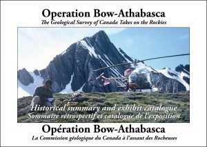
Operation Bow- Athabasca
Product Details
This highly pictorial publication serves two purposes. It provides an historical account of how the Geological Survey of Canada mapped the geology of the Canadian Rockies between Canmore and Jasper — most of that large area was mapped in only two summers, a remarkable achievement — and it acts as the catalogue for an exhibit on the same subject that Ben prepared for the Canmore Museum and Geoscience Centre.
72 pages, soft-cover, full color, many historical photos, English and French in same edition. Contributions by Ray Price, Roger Macqueen and Rick Green.